ISRO NVS-03 Satellite Mission 2026: NavIC, Objectives and Key Facts
- By Sanjay Kumar
- 30 Oct 2026, 11:59 IST
- 2 min read
Key points
Why in the News?
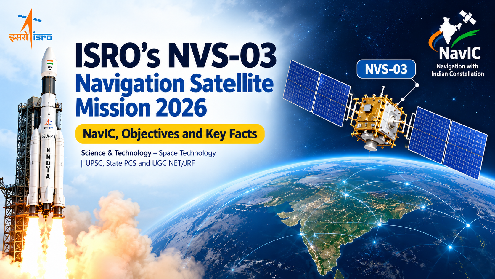
The Indian Space Research Organisation (ISRO) announced the GSLV-F18/NVS-03 mission on 28 October 2026. The mission is planned to launch the NVS-03 navigation satellite into Geosynchronous Transfer Orbit (GTO). The launch is planned from the Second Launch Pad at Satish Dhawan Space Centre, Sriharikota.
Key Facts at a Glance
Mission: GSLV-F18/NVS-03
Space Agency: Indian Space Research Organisation (ISRO)
Satellite: NVS-03
Launch Vehicle: GSLV-F18
Launch Site: Satish Dhawan Space Centre, Sriharikota
Target Orbit: Geosynchronous Transfer Orbit (GTO)
Main Objective: To strengthen India’s indigenous satellite navigation system, NavIC.
What Is NVS-03?
NVS-03 is part of India’s second-generation navigation satellite programme. The mission aims to maintain continuity and improve the reliability of India’s indigenous satellite navigation services.
The satellite carries an indigenous atomic clock along with procured atomic clocks. It also includes the L1 navigation signal, in addition to the existing L5 and S-band signals.
What Is NavIC?
NavIC stands for Navigation with Indian Constellation. It is India’s regional satellite navigation system, formerly known as the Indian Regional Navigation Satellite System (IRNSS).
NavIC provides positioning, navigation and timing services across India and approximately 1,500 km beyond the country’s boundary.
Its applications include:
Transportation and vehicle tracking
Location-based services
Disaster management
Infrastructure monitoring
Surveying and mapping
Accurate time synchronisation
Why Is the NVS-03 Mission Important?
1. Strengthening Navigation Autonomy: The mission supports India’s ability to provide navigation services through its own satellite infrastructure.
2. Improved Signal Compatibility: The addition of the L1 signal can improve compatibility with navigation receivers that support this frequency.
3. Accurate Timing: Atomic clocks are essential for precise satellite positioning and time synchronisation.
4. Civilian and Strategic Applications: NavIC supports transportation, infrastructure, public services and strategic applications.
5. Continuity of Navigation Services: The second-generation satellite programme is designed to strengthen the reliability of India’s regional navigation system.
Important Background for Competitive Exams
What Is GTO?
Geosynchronous Transfer Orbit (GTO) is a transfer orbit used to move a satellite towards its intended geosynchronous orbit. Further orbital manoeuvres are generally required to reach the operational orbit.
Why Are Atomic Clocks Used in Navigation Satellites?
Satellite navigation systems determine a receiver’s position by measuring the travel time of signals transmitted by satellites. Highly accurate clocks are essential for reliable positioning and timing.
Difference Between NavIC and GPS
NavIC is India’s regional satellite navigation system, whereas GPS (Global Positioning System) is operated by the United States and provides global coverage.
Important Facts for UPSC, State PCS and UGC NET/JRF
NavIC: Navigation with Indian Constellation
Former name: Indian Regional Navigation Satellite System (IRNSS)
Space Agency: ISRO
Launch Vehicle: GSLV-F18
Satellite: NVS-03
Target Orbit: Geosynchronous Transfer Orbit
L1, L5 and S-band: Navigation signal bands highlighted for NVS-03
NavIC Coverage: India and approximately 1,500 km beyond its boundary